SUPARCO Launches Advanced Remote Sensing Satellite
Pakistan's Space Ambitions Gain Momentum with New Remote Sensing Satellite
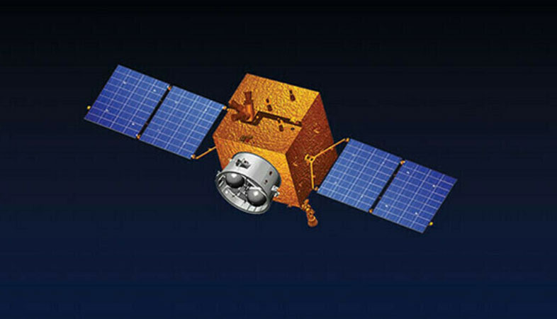
Pakistan has taken a significant step forward in its space research and development efforts with the successful deployment of an advanced remote sensing satellite. The satellite, launched on July 31, 2025, from China’s Xichang Satellite Launch Center, is now fully operational and transmitting high-resolution images to ground stations. This achievement marks a major milestone in the country’s growing space capabilities.
The satellite was developed by the Space and Upper Atmosphere Research Commission (SUPARCO), which announced its readiness for use in various national sectors. According to a press release, the satellite has established stable communication with ground stations and is already providing valuable data that will support multiple fields of development.
One of the key benefits of this satellite is its high-quality imaging capabilities, which are expected to revolutionize urban planning, infrastructure development, and regional planning. It will also play a crucial role in monitoring urban expansion and identifying development trends. These insights can help policymakers make informed decisions about land use, transportation networks, and resource allocation.
In addition to urban planning, the satellite will enhance disaster management systems. By providing timely alerts for natural disasters such as floods, landslides, and earthquakes, it will improve emergency response strategies and save lives. The ability to monitor these events in real time will allow authorities to take proactive measures and mitigate potential damage.
The satellite will also contribute to agricultural productivity by mapping crop patterns and improving water resource management. This will be particularly beneficial in regions where water scarcity is a concern. Enhanced agricultural data will support better farming practices, increase yields, and ultimately strengthen food security across the country.
Another important application of the satellite is its role in supporting large-scale national development projects. For instance, it will assist in the China-Pakistan Economic Corridor (CPEC) initiative by enabling detailed mapping of transport networks, identifying geohazards, and optimizing resource utilization. This will ensure more efficient planning and execution of infrastructure projects along the corridor.
Pakistan has been making steady progress in its space research over the past few years. Earlier this year, China launched Pakistan’s indigenously developed Electro-Optical satellite EO-1 from the Jiuquan Satellite Launch Center. This satellite is designed for disaster prediction and resource management, further expanding Pakistan’s capabilities in space-based applications.
In November of last year, SUPARCO revealed plans to send its lunar rover as part of China’s Chang’e 8 mission, scheduled for 2028. This collaboration highlights the growing partnership between the two countries in space exploration and scientific research.
Moreover, in 2024, the launch of PakSat-MM1 brought high-speed internet to underserved areas, bridging the digital divide and promoting connectivity. Another notable achievement was the successful launch of iCube Qamar, a student-built satellite from the Institute of Space Technology (IST). This satellite captured stunning images of the lunar surface, showcasing the innovation and talent of Pakistan’s young scientists on the global stage.
These developments underscore Pakistan’s commitment to advancing its space program and leveraging technology for national growth. With continued investment and international collaboration, the country is well-positioned to become a key player in the global space industry.


Comments
Post a Comment